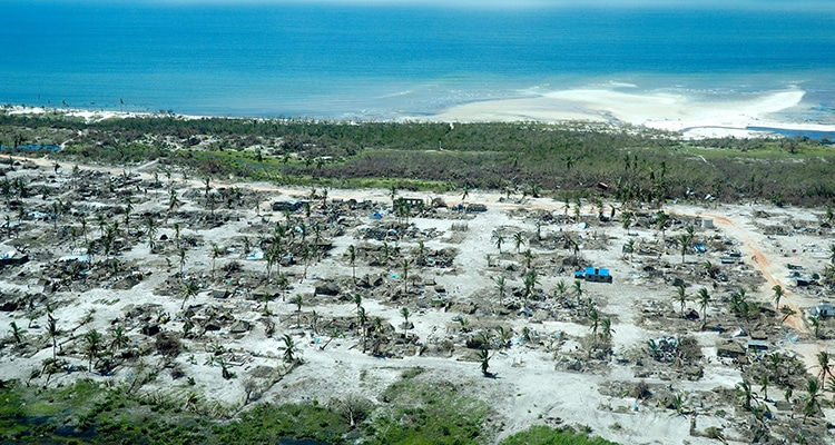
In November 2019 and February 2020, severe floods wreaked havoc across much of the UK. Given the huge costs to people’s lives and livelihoods caused by floods, one may wonder why more cannot be done to prevent flooding, or at least to warn people when a flood is expected.
So how can scientists predict when and where a flood is likely to occur? The first thing you need to get right is the weather forecast – you need to know how much rain is going to fall and in what areas. However, whilst weather predictions have come a long way in the past few decades – today’s three-day forecast is as accurate as a 24-hour forecast was in the 1990s – they are never perfect.
In addition to a weather forecast, you also need to know a great deal about the landscape of local areas, so that you can predict the path that rainfall will take.
“For every single raindrop that falls you need to track it and know where it goes,” says Professor Hannah Cloke OBE. “There are billions upon billions of different routes through the landscape that a single raindrop might take, for example it could soak into the ground, or runoff into a lake or a river. Based on our knowledge of the landscape and environmental conditions, we have to model all these possibilities to predict how much rain will flow into rivers from above and below ground.”
This complexity goes some way to explaining why, despite the advent of supercomputers and the hard work of some of the world’s brightest scientists, we are still some way from being able to predict exactly when and where a flood will hit.
Check out the IMPREX game where you can look at the use of forecasts to prevent flooding.
Participants have to be ready to protect their city and its inhabitants from flooding by interpreting forecasts and making decisions about what level of flood defences to deploy

